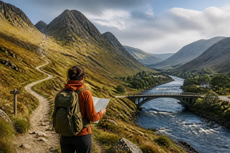
Why Rivers Draw Settlements into Valleys
Why rivers draw settlements into valleys becomes clear when you read the river, slopes and routes together to explain where homes and streets cluster.
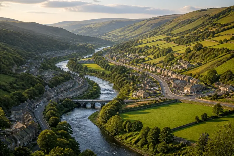
Why rivers draw settlements into valleys becomes clear when you compare the stream with the slopes, roads and building ground around it. A village may follow a raised terrace rather than the riverbank, while its shops gather where a side road meets the main route.
What does a valley offer that a hillside does not?
A valley often gathers gentler slopes and usable ground between higher ridges. Building and farming may be more practical there than on steep terrain, and the valley can offer a route through land that is difficult to cross directly.
Water is useful, but buildings do not have to stand beside the channel. People may settle on a terrace or raised bank, close enough to reach the river but above the lowest ground. The choice balances access to water and land against flood exposure and the limits of the terrain.
Think of a valley as an uneven corridor rather than a flat strip. Its river, terraces, slopes and side valleys create different sites: one cluster may occupy a broad bend, another a shelf near a tributary.
How does valley shape arrange streets and buildings?
In a narrow valley, buildings may form a line along the floor or a terrace, with the main road running parallel to the river. A wider valley can give streets room to spread across flatter ground and away from the channel.
Side valleys can create branching patterns. A road may follow the main valley, then turn beside a smaller stream towards farms or neighbouring communities. Where a tributary joins, a junction, bridge or patch of broader ground may draw buildings together.
The river does not lay streets like a ruler. Its bends, the changing slopes and scattered patches of suitable ground all shape the layout. As a result, streets may follow several local features rather than form one regular pattern.
Why does a valley connect places as well as sustain them?
Valleys can provide continuous routes through high or broken terrain. Roads, railways and paths may follow gentler gradients instead of climbing across steep slopes, connecting settlements along the corridor with places beyond it.
Those routes can also concentrate activity inside a town. A bridge, road junction or railway station may attract shops and services, while homes extend along the accessible valley floor. A new route can shift activity without moving the river or older neighbourhoods.
Imagine a settlement with an old road beside a stream, homes lining that road, and fields on a raised terrace. A newer road crosses the terrace and meets the old road at its eastern end. If shopkeepers choose sites near that junction, shops could gather there while homes remain along the original road. The visible pattern would be two activity centres: the older cluster by the stream and a newer one at the junction, joined by buildings following the valley. If the junction attracts no services, that second centre may not form, even though the road changes how people travel.
Where do the river’s advantages become constraints?
The lowest ground may be exposed to flooding, while steep sides can restrict building and make routes awkward. A river may also divide a settlement: where crossings are scarce, people on opposite banks may rely on different roads or take longer journeys to reach one another.
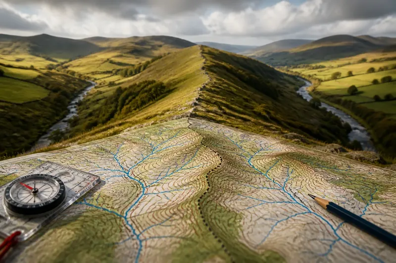
Buildings near a river are not necessarily on the floodplain. On a map, check for a contour change, a terrace above the channel or a road that stays on higher ground. Contour lines and bridges can help explain the layout; on the ground, changes in slope and the position of older streets offer further clues.
Valleys differ in the room and connections they provide. A steep-sided valley with little flat land may have a narrow chain of buildings, while a broad floor can allow more streets and services. Routes, land use and neighbouring settlements also influence where growth can extend.
What should you look for when reading a river-valley settlement?
Why are homes often set back from the river?
A terrace or slight rise can keep homes near the river without placing them at the channel’s edge. Compare the line of houses with the river bends and look for higher ground between them.
Why does the main road follow the valley?
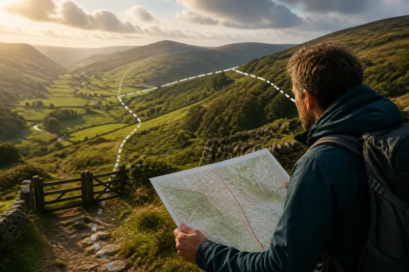
A valley can offer a gentler route through sloping terrain. Trace the road against the contours to see whether it follows the river, climbs a terrace or leaves through a side valley.
Why do buildings gather near a tributary?
A side valley may bring a stream, road and usable ground together. Look for a junction or bridge, then check whether the land broadens around it.
Why does the settlement widen in some places?
Valley floors are not equally broad or suitable for building. Compare the built-up area with slopes, bends and side valleys to see where streets have room to spread.
How can you read the whole pattern on a map?
Start with the river’s course, then follow the contour lines to distinguish the valley floor from its higher edges. Mark bridges, road junctions, tributaries and the densest groups of buildings. These features help show whether the settlement follows the water, occupies raised ground or gathers where routes meet.
Next, compare buildings with the shape of the valley instead of treating the river as its sole organiser. A narrow corridor may produce a ribbon of buildings; a broad floor can allow neighbourhoods to spread. It is like arranging objects along a table’s edge: the edge suggests a line, but the available surface determines how far the row can widen.
When reading why rivers draw settlements into valleys, look for the relationship between channel, terrain and movement. A road above the river, streets along a gentle slope or buildings at a side-valley junction can each reveal how the landscape offers opportunities while limiting where a settlement can grow.