Mountain Pass or River Crossing: Two Kinds of Route
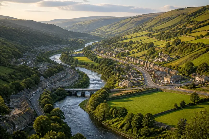
Compare a mountain pass and a river crossing to see what each route makes travellers go around, climb over or cross, and how to read the terrain.
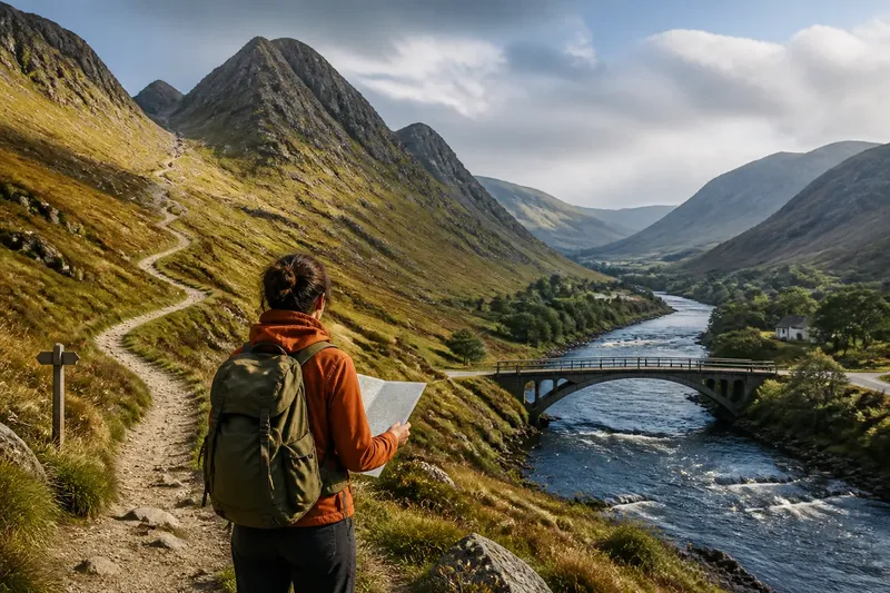
To compare a mountain pass and a river crossing, start by tracing what a traveller must get past: a ridge that rises across the route, or water that cuts through it. On a map, both can look like convenient openings. On the ground, one usually turns movement towards a lower gap in high land; the other brings it to a bank, bridge, ford or ferry.
Read the terrain in that order and the route becomes easier to understand. You can identify the obstacle, find the likely passage, then check what approaches and onward paths the passage requires. The useful question is not simply which route is shorter, but what sort of movement the landscape permits.
What is the route trying to get past?
Begin with the broad shape of the land. A mountain pass is a lower section of a ridge or mountain chain. It does not remove the climb: it offers a less elevated way across a barrier that would otherwise send travellers over higher slopes or around the range.
A river crossing solves a different problem. The route reaches a channel and needs a way from one bank to the other. The surrounding land may be flat or steep, and the crossing may be near a narrow gorge, a broad valley or a place where the river bends. The obstacle is the water and its banks, not necessarily high ground.
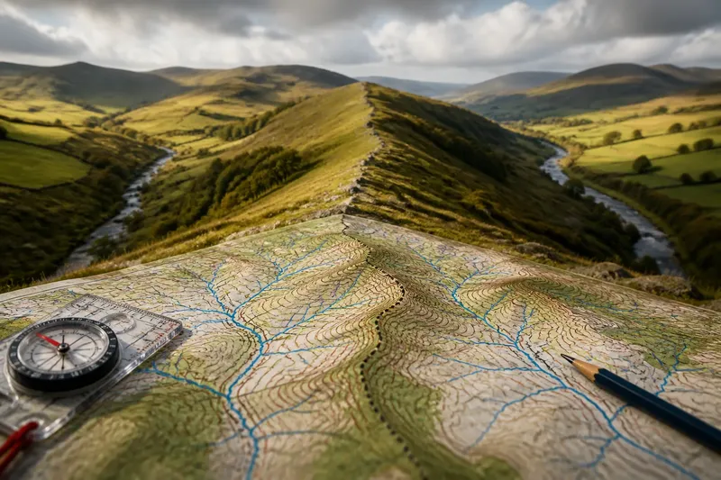
On a topographic map, contour lines help distinguish these forms. Contours that bunch along a ridge but dip at a saddle can point to a pass. A river is usually marked by a blue line; look for a bridge symbol, road connection or other mapped crossing rather than assuming that the nearest point is passable.
How do you locate the likely passage?
Follow the route from both directions, not just towards the apparent opening. For a pass, look for a corridor that rises from one side, reaches a lower notch in the ridge, then descends on the other. A gap with no usable approach may be less practical than a higher pass reached by a gradual valley.
For a river crossing, trace roads, paths and settlements to both banks. A bridge often sits where approaches can reach stable ground, while a ferry may connect places whose banks are difficult to join with a fixed structure. A mapped road that stops at the water on one side but resumes opposite is a clue to inspect more closely, not proof of a working crossing.
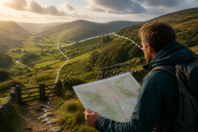
Imagine planning a walk where a ridge blocks the direct line and a river lies beyond it. You might trace a marked path through a lower saddle, then follow the valley to a footbridge shown on the map. The result to look for is a continuous route with a climb and descent before the water, rather than a line that simply points through the ridge or across an unmarked bank.
What does each passage ask travellers to do?
A pass asks a traveller to gain and lose height. The ascent may follow a valley, a switchback track or a road cut into a slope; after the crest, the route descends into another drainage basin. The ridge remains the central obstacle, even where the pass makes it manageable.
A river crossing asks for a change of bank. A bridge keeps the route above the channel; a ferry carries people or vehicles over it; a ford uses a shallow place, where conditions and local guidance matter. Each option has different implications for what can cross and whether the path continues directly after reaching the far bank.
Think of a pass as a doorway through a high wall, and a bridge as a plank between two sides of a ditch. The analogy is simple, but it highlights the distinction: the first takes you through a barrier of land, while the second carries you across a gap in the route.
What should you check before choosing between them?
Compare the complete approaches, not just the point where the crossing or pass appears on the map. A river crossing can have a long detour to reach its bridge, while a pass can demand a sustained climb before the descent begins. The route’s shape on both sides often matters more than the feature’s name.
- Approach: Check whether roads or paths reach the feature from both directions. If one side ends abruptly, seek a mapped continuation or another route.
- Elevation: Read contour lines around a pass to understand the climb and descent. A lower saddle may still involve steep approaches.
- Crossing type: Look for a bridge, ferry or ford symbol and identify which one the route relies on. Do not treat an unmarked river as an easy crossing.
- Route surface: Note whether the map shows a road, track or footpath. The type of route affects whether a vehicle, bicycle or walker can use it.
- Continuity: Trace the route beyond the pass or opposite bank until it connects to the next road, path or settlement. A passage is only useful if the onward route exists.
Maps can omit temporary closures or changes to services. Where access, weather, water conditions or local restrictions affect the choice, follow current signs and the relevant authority’s guidance rather than relying on the map alone.
Which route fits the journey?
Choose a pass when the main challenge is crossing a mountain barrier and a mapped route leads through a usable gap. It may suit a journey between valleys or regions separated by a ridge, but the climb, surface and weather exposure still shape the decision.
Choose a river crossing when the route reaches water and a known bridge, ferry or other suitable crossing connects the banks. A crossing can be a small part of a longer journey, yet it may control where roads and paths converge. If the mapped crossing is unsuitable for your mode of travel, follow the river to another recognised option rather than assuming the channel is passable.
What questions help you read the map?
Can a pass be used without crossing a river?
Yes. A pass describes a route across a ridge, while a river crossing describes movement between banks. A route through a pass may also meet a river, but the two features solve separate terrain problems.
Is every low point in a ridge a mountain pass?
No. A low saddle may be steep, inaccessible or disconnected from usable paths. Check the mapped approaches on both sides before treating it as a practical route.
Does a bridge always mark the best river crossing?
Not necessarily. A bridge is a defined crossing, but its approaches, access rules and suitability for your journey matter. Compare it with other mapped routes and check current local information where needed.
Why do roads often bend towards a pass or crossing?
Roads tend to follow terrain that can be traversed and connect to routes beyond the obstacle. A bend towards a saddle or bridge can reveal where movement is channelled, though the map alone cannot explain every historical or engineering choice.
How can you describe the route clearly?
When explaining a journey, name the obstacle and the passage separately: “The path climbs through the pass, descends into the next valley, then crosses the river by bridge.” That wording makes the sequence legible and avoids treating a pass and a crossing as interchangeable openings.
Use the same method whenever a map shows a route through difficult terrain: identify what blocks movement, locate the feature that offers passage, then follow the approach and exit. A mountain pass carries you over a ridge at a lower point; a river crossing carries you from one bank to another. That distinction helps you read not only where a route goes, but what the land asks you to do along the way.