When Map Borders Look More Certain Than They Are
Map borders can look exact while hiding scale and boundary differences. Learn how to read the line, check its source and avoid false certainty.
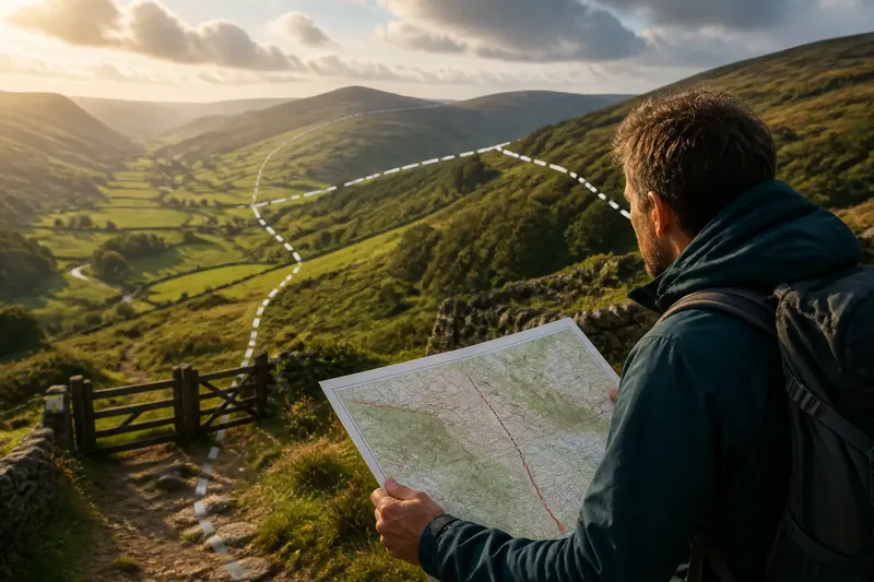
You zoom in on a map, see a crisp line crossing a field, and assume the boundary is equally crisp on the ground. Map borders often invite that mistake: their symbols must be legible at a chosen scale, even when the real boundary is broad, disputed, seasonal or defined differently from the one you have in mind.
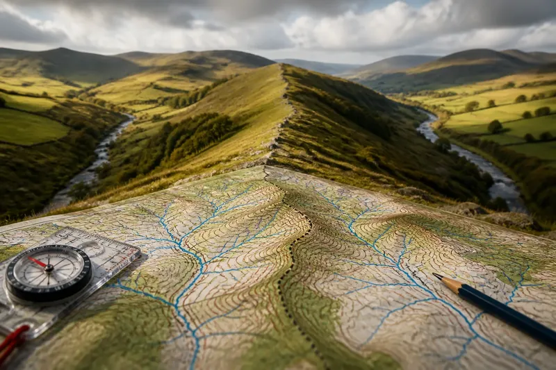
Reading a border well means asking what kind of boundary the line represents, how much detail the map can show and what decision you are trying to make. A thick stroke can be like a marker drawn on a folded paper map: easy to see, but not evidence that the ground beneath it has a matching edge.
Why does a border line seem to move when you zoom?
A map scale determines how much ground is represented by a given space on the page or screen. At a small scale, a map covers a large area with limited detail. A boundary that bends around a settlement, follows a stream or passes between buildings may be simplified into a smoother line so it remains readable.
Zooming can make the display larger without adding better information. Some online maps switch to a more detailed source as you zoom; others enlarge the same simplified data. The line may look sharper in either case, but sharpness is a visual property, not proof of greater positional accuracy.
Look for the map’s scale bar, scale statement or source notes. Compare the boundary on a map made for a broader area with one intended for local use. If the line shifts between them, treat that as a cue to check the data, not as evidence that one map must be wrong.
Try to match the map to the question. A regional map can help you understand which side of a country a district occupies. It is a poor tool for deciding which side of a narrow lane a property boundary follows.
What causes a border to have more than one meaning?
“Border” can describe several different things. An international boundary separates states; an administrative boundary divides districts or regions; a property boundary marks land rights; and a protected-area boundary may define where particular rules apply. These lines can meet, cross or follow different features, even when they appear close together on a general map.
A map’s legend and data description tell you which boundary type is being shown. A line labelled as an administrative limit should not be treated as a property edge. Likewise, a park boundary on a visitor map may show the area’s broad extent without resolving a small parcel or access dispute.
There are also differences between a boundary’s legal definition and its depiction. The line may be described in an official record using words, coordinates or reference features, while the map renders that description as a symbol. The rendering is useful for orientation, but it may not settle how the boundary applies at a particular spot.
When your question concerns rights, access or restrictions, identify the responsible authority and the record that governs that boundary. A general map can point you towards the relevant office or document; it should not stand in for the authoritative source.
Why does a line look exact when its location is uncertain?
Cartographers use line thickness, colour and contrast to make boundaries visible against roads, rivers and terrain. A symbol may cover a noticeable strip of the map, and the actual boundary could lie anywhere within that strip. At smaller scales, the drawing may also be displaced slightly to avoid hiding a road or another feature.
That does not make the map careless. It reflects a practical limit: a map has to distinguish information on a finite surface. The boundary symbol is a representation, not a painted trace of the ground edge.
Some boundaries are not represented by a single, universally accepted position. A boundary may be subject to competing claims, incompletely surveyed, or described in terms that different authorities interpret differently. Maps produced by different organisations can therefore display different lines or labels.
When sources disagree, note who produced each map, when its data was updated and what boundary definition it follows. Do not average the lines or pick the one that looks most detailed. For a consequential question, seek an official statement from the authority responsible for the boundary, and consult a qualified professional where legal rights are at stake.
What should you do when a map border causes confusion?
Work through the problem in order, rather than treating the first visible line as decisive:
- Name the boundary. Decide whether you are looking at a national, administrative, property, protected-area or other limit.
- Check the map’s purpose. Read the legend, scale and source notes. A travel map, planning map and cadastral map are made to answer different questions.
- Compare suitable sources. Look for a map issued by the authority responsible for that boundary, then compare it with another relevant source if the details remain unclear.
- Inspect the level of detail. Check whether the boundary has been generalised at the scale shown, and whether the map distinguishes the line from a zone or area.
- Match the source to the decision. Use broad maps for orientation and authoritative records for questions about jurisdiction, land, access or restrictions.
- Ask for clarification when the stakes matter. Contact the relevant public body or a qualified land or legal professional rather than inferring a precise boundary from a screen.
Say you are planning a walk and a public map shows a protected-area boundary crossing a track near a gate. First identify whether the line marks the park’s extent or a separate access restriction, then check the authority’s current visitor information. If that source says the track is outside the restricted zone, you have a clearer basis for choosing the route; if it remains ambiguous, ask the managing authority before relying on the map.
Which map border should you trust for your question?
Can a map show a boundary more accurately than the ground?
A map can record a surveyed or formally defined boundary with considerable precision, but its displayed line still has to be read at the map’s scale and in the context of its source. For a precise local decision, check the underlying record or responsible authority rather than judging the symbol alone.
Why do two maps show different boundary lines?
They may use different data, dates, scales or definitions of the boundary. Check the legends and publishers before comparing the positions; a disagreement can reflect different purposes rather than a simple drafting error.
Does a thicker line mean a wider border zone?
Not necessarily. Thickness is often a design choice that keeps a boundary visible, while a real boundary zone should be identified in the map’s legend or documentation. Do not infer the ground width from the width of the printed or displayed stroke.
Which source should I use for a property boundary?
Start with the official land or cadastral records for the relevant jurisdiction and check what they actually define. If the boundary affects ownership, building, access or a dispute, seek advice from a qualified surveyor or legal professional.
How can you keep a map useful without overreading it?
Keep two questions separate: “Where is this boundary broadly?” and “Where exactly does it apply here?” The first is often a map-reading question. The second may depend on formal records, local rules, survey information or a boundary authority’s interpretation.
Use the main search phrase, map borders, as a prompt to inspect the line’s meaning rather than its apparent neatness. Ask what the line represents, what scale shaped it and whether the source is suitable for your decision. That small pause helps a map do what it does well—orient you—without asking a drawn symbol to settle more than it can show.